
Marion Township Neighbors by Block
Public records can describe the block around a Marion Township address, but they describe different things. The County parcel map and Auditor card identify parcels, listed owners, legal descriptions, and tax districts. Recorder deeds and plats place ownership in time and explain lot or subdivision context. The Board of Elections has public voter tools with strict exclusions. Township zoning files may be requested for a known address. Library directories offer dated historical context. Taken together, these sources support a careful block review, not a list of every neighbor.
| Block source | What it reveals nearby | How to reach it |
|---|---|---|
| Parcel boundary layer | Touching parcel lines, PINs, tax district, and listed owner fields | County map layer and Auditor property card |
| Recorder deeds and plats | Transfer parties, legal continuity, lot, and subdivision references | AVA index, counter, or written copy request |
| BOE street tools | Authorized voter information and street or precinct reports | Official online tools or focused Board request |
| Township zoning records | Address-specific applications or final actions if maintained | Narrow Public Records Act request |
| Library holdings | Older directory, obituary, newspaper, and local-history clues | Local History Room paper and microfilm |
An owner is not necessarily an occupant. A parcel may be owned by a trust, estate, company, or person receiving tax mail elsewhere. A public voter record is also narrower than a census of the block. Keep the source label and record date beside each observation, especially when comparing nearby parcels across time.
Map Marion Township Neighbors
The official adjacent-parcel method begins with an anchor address in the Marion County Auditor Property Search. Confirm the parcel, tax district, and legal description before moving outward. Then use the County parcel-boundary layer to identify polygons that touch the anchor parcel. The layer carries a 12-character PIN, tax-district data, and listed OWNER fields. The WEB_APP_PARCELS service supports map export and Identify, but the official services do not document a public buffer or radius tool. Click, pan, and select rather than expecting a built-in adjacency command.
- Find the anchor parcel by its situs address or parcel number and confirm the Marion Township tax-district context.
- Open the parcel map, identify each touching boundary, and write down the PIN for each nearby parcel.
- Open each PIN in the Auditor property card to compare listed owner, legal description, and any tax-mailing clue.
- Use the legal description, not the street number alone, when a Recorder deed or plat is needed to explain a subdivision or past transfer.
The official County interactive parcel service is the supporting map source for this manual adjacency method.
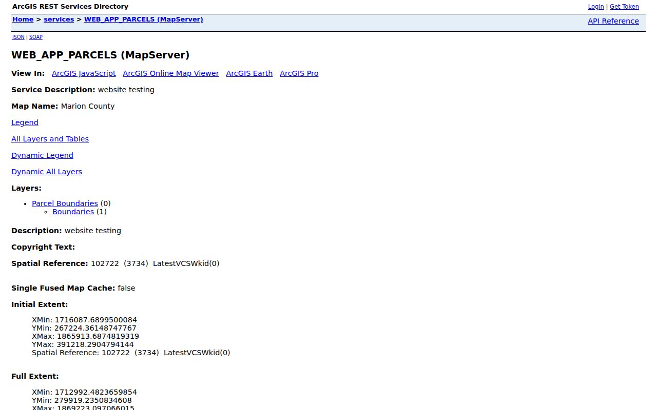
Adjacent parcels show land relationships. They do not establish that listed owners, former owners, or other people are current occupants of the surrounding parcels.
Marion Township Neighbor Parcels
Use the County Parcel Map layer after the anchor parcel is known. The research confirms the parcel boundary layer as the official source for boundary geometry and its owner fields. That distinction is important: a line that touches a parcel is an objective map relationship, while a current personal connection requires a separate, lawful record. For a lot that does not quite touch, do not extend the result by guesswork or by a visual estimate of distance.
The County parcel boundary map provides the starting view for this Township block workflow.
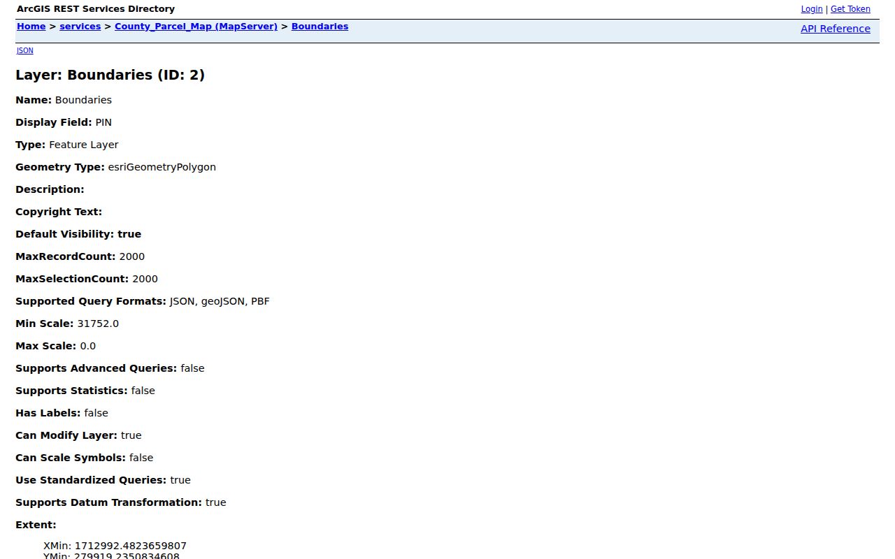
Record the PIN and tax district with any owner name. Those fields make a later Auditor or Recorder check more reliable than a street address alone.
Marion Township Neighbor Jurisdictions
Boundary checking is a local necessity. The County Jurisdictions layer has separate features for MARION TOWNSHIP (INCLUDING CITY), MARION TOWNSHIP (EXCLUDING CITY), and MARION CITY. Those labels are direct evidence that a Marion mailing label does not settle jurisdiction. Recheck the tax district for every parcel near a Township or City line. Township trustees handle township-created records such as roads, zoning, cemeteries, and meetings, while County offices hold property, deeds, elections, and court records.
The County Jurisdictions layer displays the separate Township and City areas used to test that boundary.
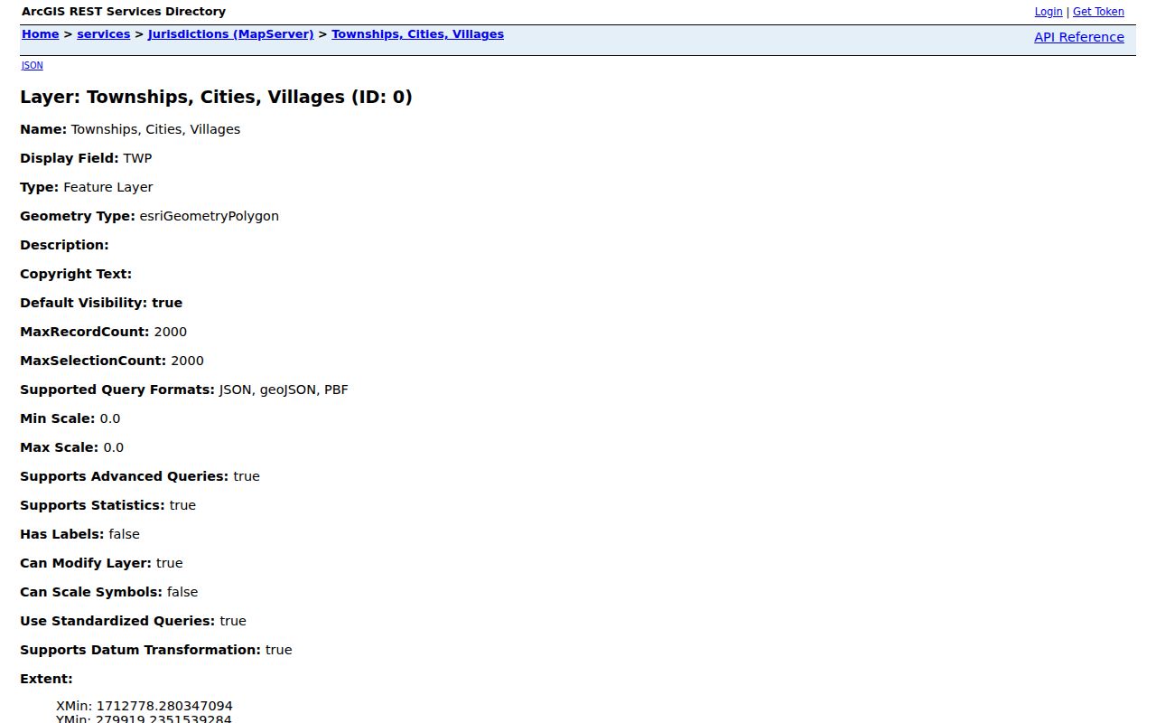
This boundary check prevents the common error of asking a City department about an unincorporated Township parcel, or assuming a postal label answers the question.
Note: A postal city, a tax district, and a Township boundary can overlap without being the same record geography.
Marion Township Neighbor Voter Records
The Marion County Board of Elections tools include voter lookup, polling-place search, street report generation, voter reports, and precinct displays. The street-report route offers PDF or CSV output and lists Marion Township precincts A through F. It can be helpful when the question is whether an official public election record exists for a particular street or precinct. It is not a complete block roster, and its output must be kept within the public fields Ohio allows.
Ohio Revised Code 3503.13 excludes telephone and email information, credential numbers, confidential voter records, protected addresses, and other protected fields. Nonvoters and minors may not appear. Voting history is limited to public election activity, not ballot choices. The Board's public records route is the fallback for an existing historic or geographic file; it does not require the Board to create a new compilation or disclose excluded fields.
The Marion polling-place search illustrates the address-based entry point among the Board's official tools.
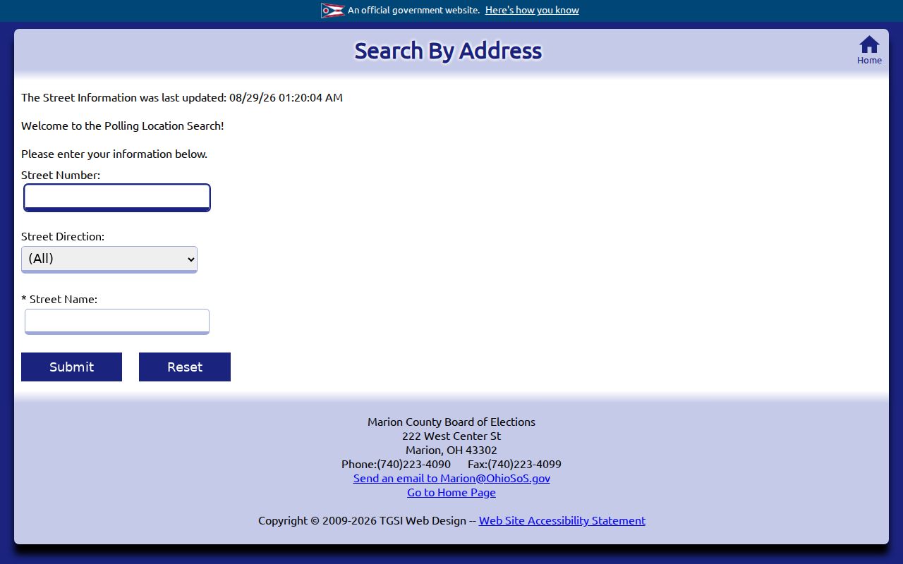
A polling-place query helps test election geography. It does not identify every person who lives on the block or make private contact details public.
Marion Township Neighbor Subdivisions
When a nearby parcel's legal description points to a subdivision, the County Subdivisions layer can supply a bridge to the Recorder. The service includes subdivision name and ID, addition, Township or corporation codes, recording year or date, record volume and page, sleeve or cabinet, and lot or unit ranges. In the observed current data, Township code 7 returned 505 mapped subdivision records, with nonzero recording years from 1822 through 2015. That observation is not proof that no later plats exist. It is a useful index trail for a Township block question.
The County Subdivisions layer shows the map service that connects a mapped development to recording references.
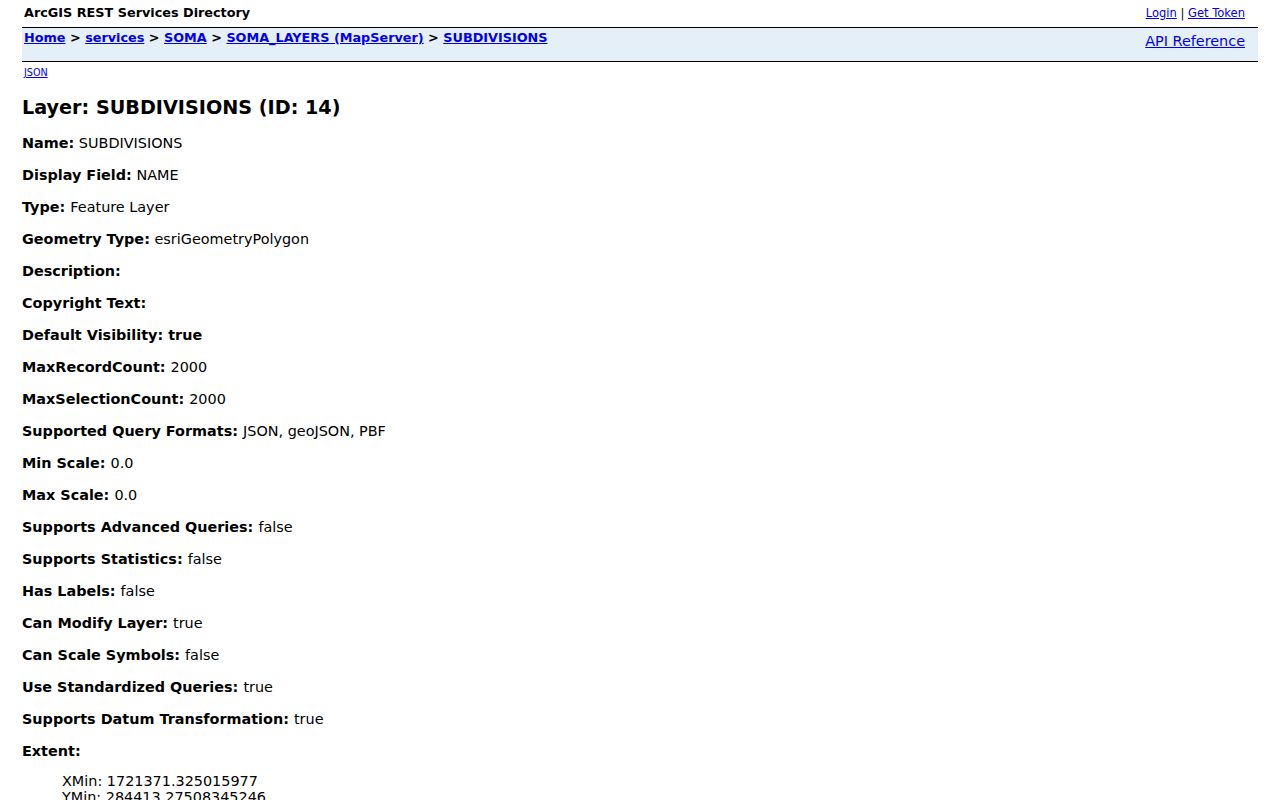
Take the recorded volume, page, lot, or unit reference to the Recorder's AVA index or office. Deeds and plats explain land history, not the present makeup of a nearby home.
No Verified Neighbor Roster
Myth: a Township must keep an HOA, neighborhood, or block roster. No verified official Marion Township neighborhood-association umbrella directory, HOA membership list, block-watch roster, congregation roster, or Township household list was found in the research. The Township public site provides elected officials, communications, and events, but it does not publish a directory of residents. It would be inaccurate to fill that gap with nearby City groups or to present voluntary membership information as a public Township neighbor record.
A community source can still be useful for context when it states its own purpose. The Marion Area Chamber directory, for example, is a voluntary membership directory rather than a government register and does not establish a home address or nearby residency.
Use voluntary organization pages for public event or organization context, and use consent-based contact for introductions. Do not infer a member roster or a block relationship that the source does not provide.
Marion Township Neighbor Records Compared
Official records, voluntary community pages, and compiled neighbor products should not be treated as interchangeable. County sources label the parcel, custodian, and record type. A voluntary page describes its own participants. Compiled products may blend old record fragments and marketing data with uncertain update timing. A search result from any category needs a date and a source check before it is used to draw a conclusion about a Township block.
| Source | Best use | What it cannot prove |
|---|---|---|
| County parcel and deed records | Parcel boundaries, listed ownership, legal land history | All people currently at a property |
| Official voter tools | Public election-record information within statutory limits | Every adult, private contact fields, or ballot choices |
| Voluntary community directory | Public organization context or event contact | A Township roster or home address |
| Compiled neighbor product | An unverified lead to check with a custodian | Identity, freshness, or protected information |
A historical block question may be better served by the Marion Public Library's directory, obituary, and newspaper holdings than by a current map. The collection is dated and may have geographic gaps, so use it as history rather than a current-person tool.
Marion Township Neighbor Privacy
Public access has firm limits. Safe at Home participants may use a substitute address, and ORC 111.44 keeps participant voter information out of the public version of registration records. Ohio's public-record exceptions also protect medical, juvenile, investigatory, confidential-address, and other exempt information. Utility and delivery data are not public neighbor lists. A public owner, a public elector, and an actual person at an address are three distinct categories, even when their records appear close together on a map.
Lawful use. Marion Township block research is for personal, lawful community and property context. Public records do not permit following, threatening, stalking, or harassing another person.
Do not try to reconstruct a protected address by linking unrelated sources. For a public Township zoning or minute record, make a narrow request under ORC 149.43 with an address, parcel, record type, and date range. For a whole named street rather than the immediate block, use the Marion Township street directory to follow the broader address-record chain.